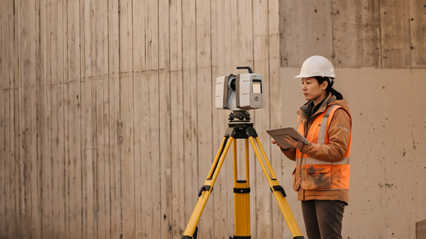
Terrestrial laser scanning surveys collect precise three-dimensional data on existing structures and site conditions at strategic locations along the study corridor. Carried out remotely from safe, publicly accessible locations, these surveys help document existing infrastructure and support project planning, engineering, and detailed design.