
Understanding terrestrial laser scanning surveys: key terms and definitions
The following terms are commonly used in connection with terrestrial laser scanning surveys and the collection of three-dimensional data on existing infrastructure and site conditions.
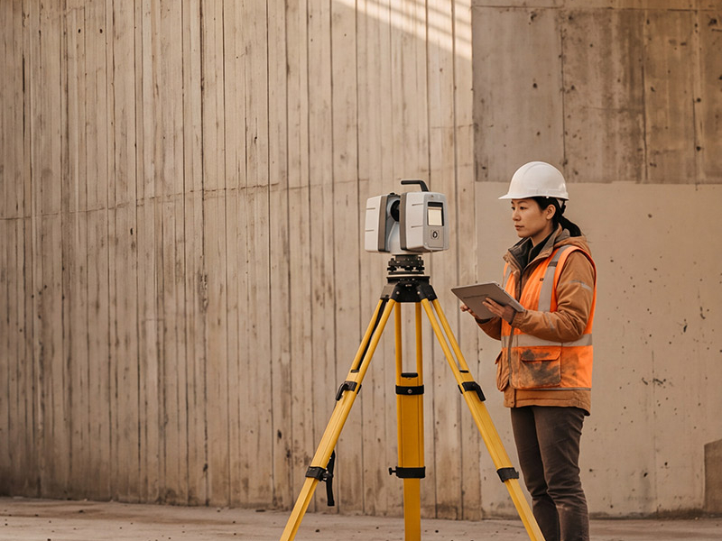
Terrestrial 3D laser scanning
A surveying method that uses a tripod-mounted laser scanner positioned on the ground to capture highly accurate measurements of structures, infrastructure, or terrain. The data collected is used to create a detailed three-dimensional representation of existing conditions.
3D point cloud
A digital representation consisting of millions of spatially referenced measurement points. Together, these points accurately reproduce the shape, dimensions, and location of observed structures, infrastructure, and terrain features.
Railway right-of-way
Land designated for railway infrastructure and operations, including railway tracks and the equipment required for their safe operation and maintenance.
Why conduct terrestrial laser scanning surveys?
As project planning and design advance, accurate three-dimensional information on existing structures and site conditions is essential to support engineering and detailed design.
Terrestrial laser scanning surveys provide reliable 3D data to improve the accuracy of available information and support the project's engineering, planning, and design activities.
For areas within a railway right-of-way, this technology allows the required data to be collected remotely from outside the right-of-way, without accessing railway tracks and while minimizing impacts on rail operations and road traffic.

What do terrestrial laser scanning surveys involve?
The surveys are conducted from publicly accessible areas and safe locations outside the railway right-of-way. Terrestrial laser scanning equipment are used to capture high-precision 3D point clouds of existing structures and site conditions.
The surveys are used to:
- Document existing structures and site conditions
- Capture high-precision three-dimensional data
- Support engineering, planning, and detailed design activities
- Where applicable, avoid the need to access railway tracks
- Minimize impacts on rail operations and road traffic
The work is carried out using a non-intrusive approach and in accordance with applicable health and safety requirements. Data collection is limited to project needs and associated surveying activities.
The surveys are conducted at strategic locations along the study corridor between Toronto and Québec City.