Published on October 19, 2026
Updated on October 20, 2026
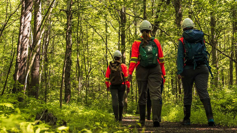
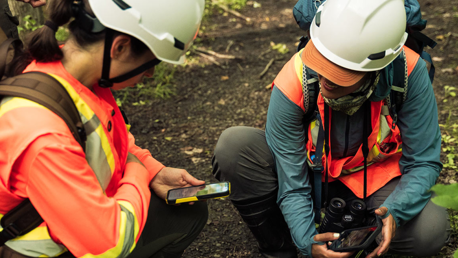
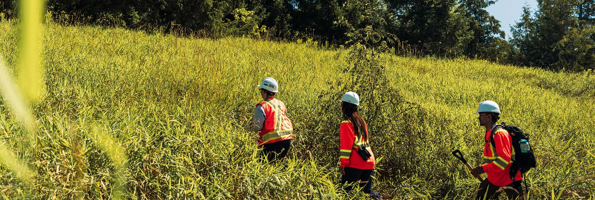
Before any construction begins, Alto needs to understand many factors about the land on which we will be operating. This is why we’ve been undergoing extensive field studies, reviewing existing data and consulting with communities along the study corridor to better understand the land and environment, including wildlife habitats and migration routes, aquatic habitats, waterways, underground conditions and much more.
As part of our field studies, we use a range of tools and techniques to gather information about the area. One of those tools is drone surveys, which help us collect detailed information from the air to build a more complete understanding of local conditions.
Drone surveys can help build that picture from the air and provide an efficient way to document a large area while minimizing disruptions to ecosystems and communities. They can help us gather detailed information about the land, including water flow, erosion, animal habitats and more.
You may be wondering what drone surveys record, how the information is used, and what to expect when surveys take place near your community. Understanding how our drone surveys work can help answer these questions.
What drone surveys see and record
We use drones to help get a bird’s eye view of the land and water. They are always flown at a safe distance from land, to collect high-resolution imagery and detailed 3D information. For example, we use drones to do bathymetric surveys, which measure the depth and shape of the bottom of a river, or lake to document habitat features used by certain species, including fish, turtles, and mammals.
How Alto uses information collected by drones
Environmental information gathered during our planning stage, including the data collected by drones, is used to help inform further analysis. The more we know about the existing environment, the better we can understand the project's potential impacts and how they can be avoided or mitigated wherever possible.
When the time comes, the information collected though field studies, desktop studies, public consultation and other planning activities will help inform the mapping and analysis needed to carefully and thoughtfully plan the train route. This crucial data will also inform our environmental impact studies as part of the federal impact assessment process.
Being safe and respecting privacy when using drones
Alto always prioritizes the privacy of Canadians. When it comes to drones, that includes flying them at a safe and appropriate height, generally at an altitude of 60 to 120 metres high, which is the equivalent of a 20 to 40-storey building. We never fly over a private property without first obtaining the owner's authorization, and we only activate image recording once the drone has reached its intended survey zone. If we inadvertently capture images of an individual or personal information, we may apply blurring or pixelation before the images are used, and we do not share or publish any footage gathered. The data collected is stored in a secure and controlled environment with strict access restrictions and is accessible only by authorized personnel.
Furthermore, all surveys are conducted in compliance with Transport Canada requirements. Our drones are operated by certified pilots, and flights only take place during daylight hours, when light and meteorological conditions allow us to capture the imagery we need. We do not conduct drone flights at night.
Drone surveys in your area: what can you expect
If you are a resident living within our study corridor and a drone survey is required to take place over or near your home, it is important to note that the locations we are currently studying do not necessarily indicate the future railway route. Residents may occasionally see field crews in the area, as well as temporary ground control targets, which are marked reference points placed on the ground to help ensure survey accuracy. If access to private property is required, permission will be obtained from the property owner in advance. Residents with questions about field studies can contact the Alto team at [email protected]. through our project information channels.
Drone surveys are one of many tools Alto is using to better understand the land, water and ecosystems within the study corridor. They help us build a more complete understanding of the territory before planning decisions are made.
Learn more about where drone surveys have been conducted to date.
Share this blog post
Subscribe to the blog RSS feed