Understanding vegetation studies: Key words and definitions
Upland vegetation
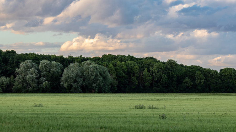
An ecosystem dominated by plant species that are adapted to terrestrial conditions and where soils are not saturated with water. These environments are mainly composed of forests, plains, and open habitats (prairies, fallows, shrublands).
Wetlands
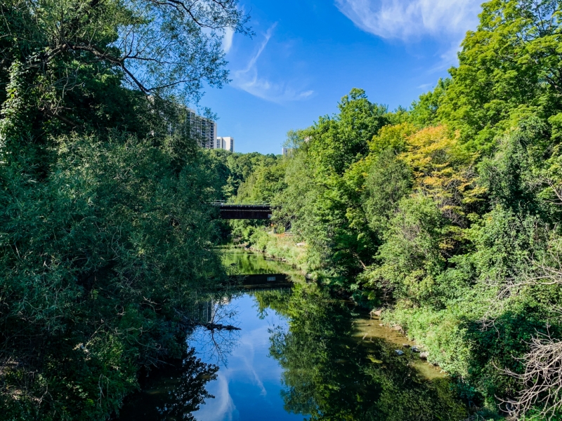
An ecosystem whose dynamics are driven by the presence of water. These environments lie at the boundary between terrestrial and aquatic habitats, harbor a unique biodiversity, and fulfill numerous functions (filtration, water retention, pollution reduction, connectivity, etc.).
Species at risk
A species that is extirpated from the country, endangered, threatened, or of special concern under the Species at Risk Act.
Why study vegetation?
Integrating knowledge of plant communities is a key element in the protection of natural environments. Terrestrial communities and wetlands perform essential ecological functions that support biodiversity conservation, water quality protection, carbon sequestration, ecological connectivity, and landscape quality.

What do vegetation studies involve?
Vegetation studies begin with a review of available data in order to identify the presence of wetlands and forest stands. Study areas are then selected based on the results of this review. Their selection relies on cartographic databases and aerial photographs. Subsequently, field surveys are conducted to characterize the site and compile relevant information on the plant communities present and the habitats they comprise.
Characterization includes the delineation of plant communities, identification of species present within the different vegetation strata, and a description of site soils and hydrology. Drone and airborne LiDAR (Light Detection and Ranging) surveys can also be used to characterize vegetation.